
Simplified: The Landsat 9 satellite launched last week will help further decades of data collection and research based in Sioux Falls at the Earth Resource Observation and Science Center (EROS).
Why it matters
- EROS wouldn't be here if not for the U.S. Geological Survey (USGS) Landsat satellites, which have a record of Earth's surface dating back 50 years.
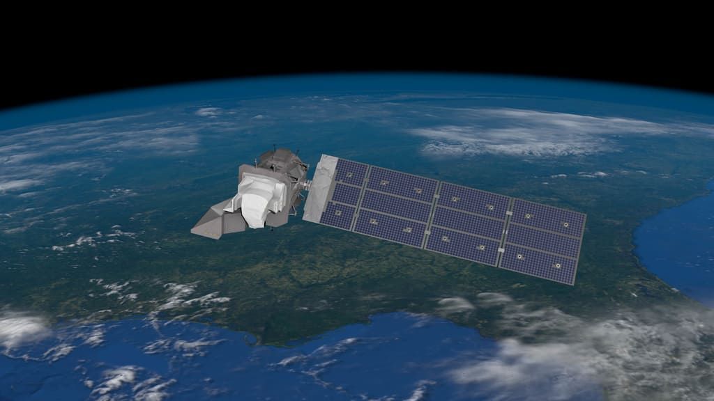
- Landsat 9 is the latest in this series of satellites. It replaces Landsat 7 and joins Landsat 8 in orbit. Between the two active satellites, EROS collects a full picture of the planet every eight days.
- The data collected are then used to monitor everything from drought conditions to fires to the impact of climate change to potential famine conditions, according to Terry Sohl, acting branch chief for the integrated science and applications branch of EROS.
"When push comes to shove, there's a lot happening out there that can potentially affect people's lives with regard to drought and fire and climate change," Sohl said. "There's just a lot of research that's being done out there that impacts the people of South Dakota."
Tell me more about the Landsat program.
It dates back to the 1960s, when the idea was first discussed, Sohl said.
- The first Landsat satellite – then called the Earth Resources Technology Satellite (ERTS), but now known as Landsat 1 – launched on July 23, 1972 with a goal to monitor Earth's land.
Today, the Landsat satellites in orbit help scientists globally.
"We have the world's largest collection of publicly available remote sensing data," Sohl said.
Why is all of this data and science in Sioux Falls?
Chalk it up to a mix of luck and politics.
When the federal government initially set the goal to gather data about natural resources, the plan was to keep the data center centrally located, per USGS history.
- Ultimately, it was the influence of then-South Dakota Sen. Karl Mundt that cemented Sioux Falls as the home of the EROS center in 1972.
What's new with Landsat 9?
Not much, but that's kind of the point, Sohl said.
"First and foremost we're looking for consistency," he added.
With Landsat's consistent imaging, scientists can map changes to Earth's lands over time.
That said, the instruments aboard the Landsat 9 are a little bit improved from those on previous satellites.