
Simplified: Sioux Falls is on track to break the all-time record for the hottest first 10 days of June. And there's not much relief on the radar.
Why it matters
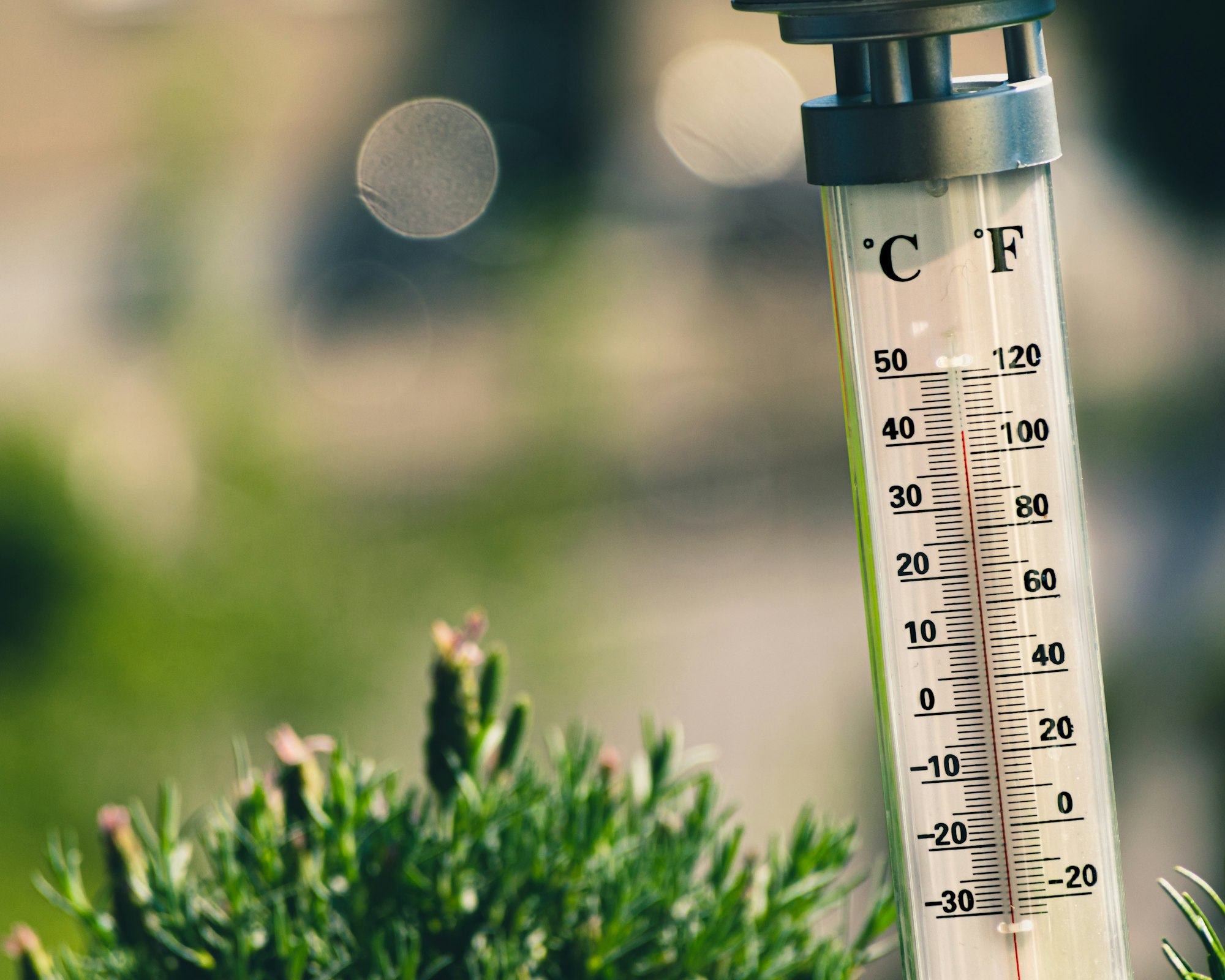
- Feeling weather whiplash? Sioux Falls went from being 18 degrees below normal at the end of May to 28 degrees above normal temperatures on June 5, according to the National Weather Service.
- That heat comes from two main factors, one of which is the lack of rain. We're two inches below average precipitation for this point in the year, and dry soil heats up faster, driving temperatures up.
- The other primary reason for the heat is a persistent ridge in the area, which is essentially a high pressure area.
"It's like a big bubble of warm air in the atmosphere that just deflects any cooling out of the area, and it's been very persistent," said Jeff Chapman, meteorologist with NWS Sioux Falls.
When will it cool down?
Not for at least the next couple weeks, according to Chapman.
There's a chance of thunderstorms Thursday night, and that rain could bring slightly cooler weather.
But even slightly cooler temps are still hotter than normal. Normally high temperatures would be near the 80s this time of year, Chapman said, but the start of June has pushed temperatures straight into the 90s.
How to stay safe in hot weather
Here are some tips from the weather service:
- Drink lots of water.
- Keep pets hydrated.
- Wear light clothing.
- Do outdoor activities early or late in the day when it's cooler.
- Take breaks as needed (ideally in some air conditioning).
"Signs are, in the short-term, that things are going to remain toward the hot side," Chapman said. "We cannot stress hydration for both humans and animals enough."